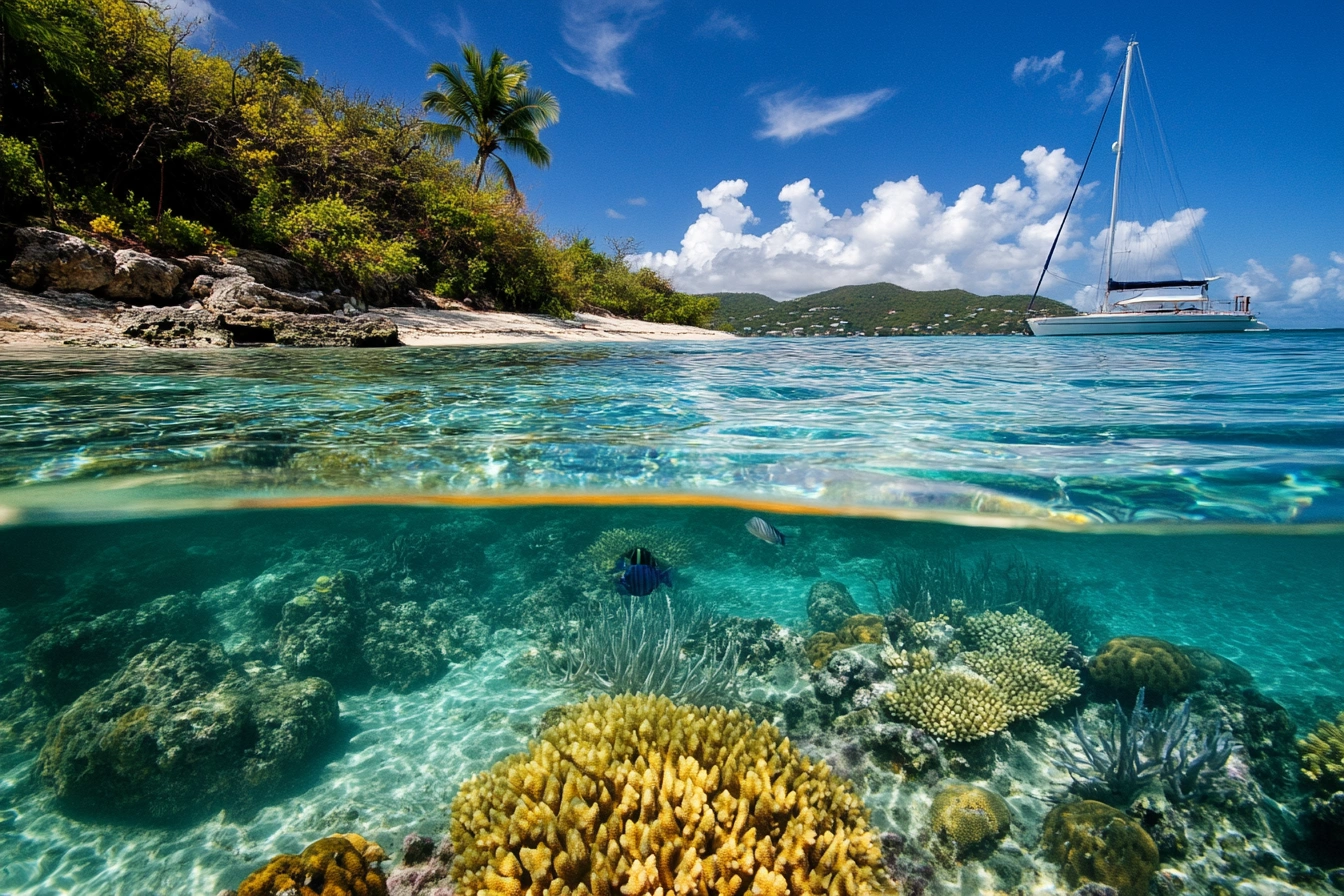
St. Thomas Virgin Islands Water Temperature
The waters surrounding St. Thomas, the crown jewel of the U.S. Virgin Islands, maintain an almost supernatural consistency that would make any five-star resort's heated pool jealous.
Read More
The waters surrounding St. Thomas, the crown jewel of the U.S. Virgin Islands, maintain an almost supernatural consistency that would make any five-star resort's heated pool jealous.
Read MoreOn a jet ski, the entire Virgin Islands become your personal playground. This isn’t just a rental - it’s your ticket to the Caribbean most tourists never see.
St. Thomas, with its stunning landscapes and rich cultural tapestry, is a jewel of the Caribbean. Its location, in the heart of the Virgin Islands, has made it a pivotal player in the region’s history and an enduring destination for travelers.
St. Thomas is a small island, 32 square miles of rugged land carved from the sea. It’s not the size of the place, but how you feel it. From one end to the other, the drive is just 16 miles.
St. Thomas is one of the U.S. Virgin Islands, located in the Caribbean Sea about 40 miles east of Puerto Rico. It's part of an archipelago that also includes St. John and St. Croix. The island lies in the Lesser Antilles, which forms the border between the Caribbean Sea and the Atlantic Ocean. The capital and largest city on St. Thomas is Charlotte Amalie, which sits on the island's southern coast.
As a U.S. territory, St. Thomas is an unincorporated and organized territory of the United States. The island's coordinates are approximately 18.3°N and 64.9°W. The island itself is relatively small, about 13 miles long and 4 miles wide at its widest point, with a total area of about 32 square miles.
Find St. Thomas Virgin Islands on Google Maps
If you are a U.S. citizen, you do not need a passport to visit St. Thomas. However, it is recommended to carry a government-issued ID.
Some of the top attractions in St. Thomas include Magens Bay, Coral World Ocean Park, and Blackbeard's Castle.